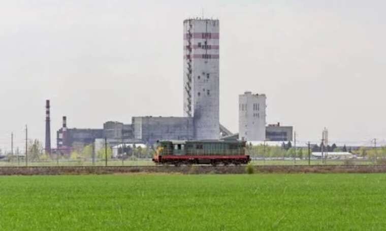
Customs data reveals 36 shipments of Russian anthracite to DTEK's Swiss subsidiary in 2022
Investigation revealed regular coal purchases from a mine in Rostov Oblast by Swiss firm DTEK Trading SA after the start of the full-scale invasion.
Investigation revealed regular coal purchases from a mine in Rostov Oblast by Swiss firm DTEK Trading SA after the start of the full-scale invasion.

Checks on the legality of residence and employment of foreigners were carried out in Poland, resulting in the detention of over 80 individuals.

A sweet item featuring confectionery substitutes for all traditional components will appear at the chain's flagship outlet in South Korea.
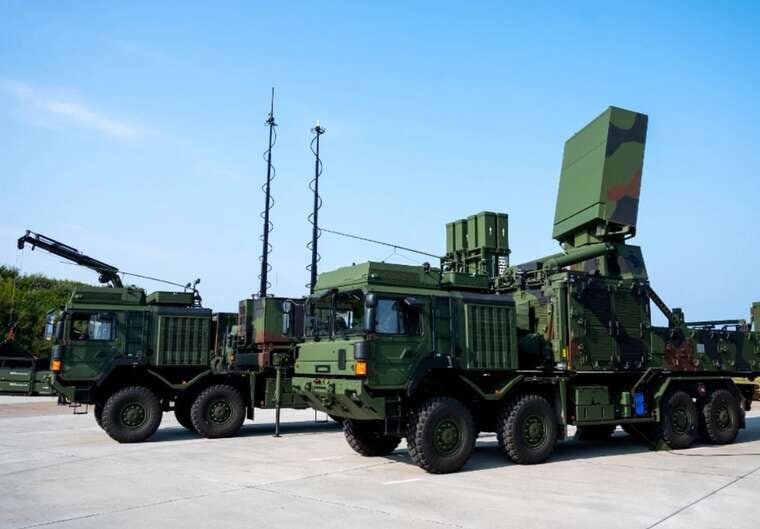
The President of Ukraine stated that the Armed Forces struck three ballistic missile launchers overnight, destroying one. A total of 79 cruise missiles were also shot down.
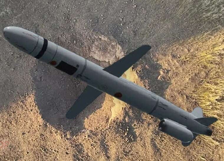
Warsaw confirms airspace violation incident. Defence minister states no casualties, attack among largest since war began.
Commander of British cyber forces Rob Magowan stated that the UK Armed Forces are conducting offensive actions online against Russia, China, Iran and North Korea.
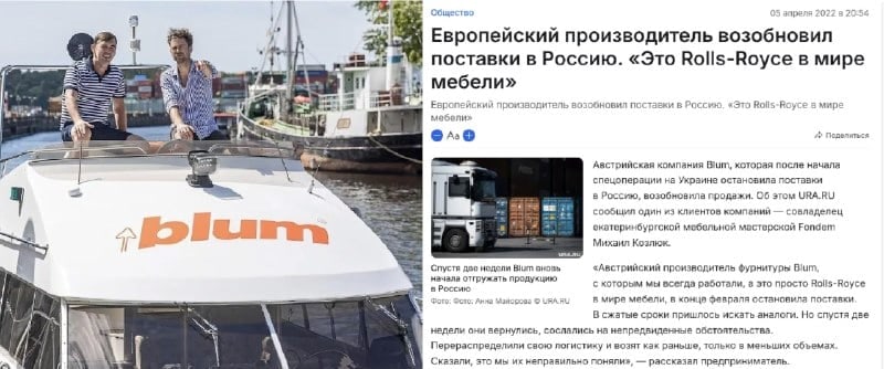
Despite an official statement halting exports, Julius Blum GmbH products are widely appearing on Russian marketplaces. Analysis shows logistics chains run through companies in Minsk and Vilnius.
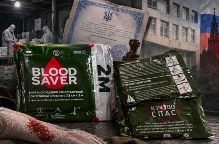
A private conformity assessment body legalised medical devices previously produced illegally in a basement. The investor was Enamine, a company with links to the Russian market.
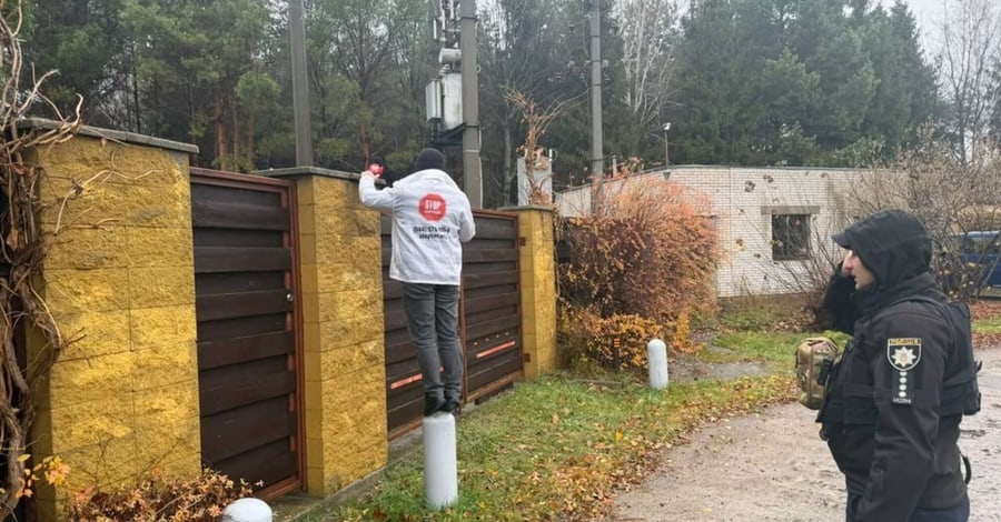
In the territory of the upscale settlement of Kozyn in Obukhiv district, the disregard for local authorities' decisions continues. Journalists checked the situation near the estate of People's Deputy Anton Yatsenko and confirmed: the illegal fence blocking access to the Kozynka River has not been dismantled.
The self-erected structures and fencing remain in place, despite official demands from the Kozyn settlement council and reports from the State Ecological Inspectorate.
The estate, covering approximately 1,500 square metres, is located directly opposite the Kozyn Reserve. During the on-site visit, several key violations of nature conservation legislation were documented:
«Йому (Антону Яценку - ред.) мало 1500 кв. м маєтку та пів гектара землі, він ще й захопив комунальну територію, аби було де вигулювати собак» (He (Anton Yatsenko - ed.) was not content with a 1,500 sq m estate and half a hectare of land; he also seized communal territory so he would have somewhere to walk his dogs), investigators noted at the scene.
According to the official response from Kozyn settlement head Valerii Hartik, on 2 July 2026, the settlement council sent a demand (outgoing No. 1680/09-06/03-2026) for the voluntary dismantling of the fence. Plot coordinates: 50.255155, 30.646051 and 50.253867, 30.646846. The cadastral number of the land plot is 3223155400:04:014:0073.
The land user's response stated that he had not built the fence, and that he had sublet part of the plot to an individual since 20 October 2010. Following an inspection by the State Ecological Inspectorate of the Capital District on 8 June 2026, the authorities were forced to send a repeat demand to the sublessee.
However, as of November 2026, no dismantling actions have been taken.
Due to the failure to comply with the local self-government body's orders and the continued unauthorized occupation of the riparian protective strip, journalists called the police investigative and operational group. Law enforcement officers documented the offence and registered the incident in the Unified Register of Records under number EO25665.
Comments
No comments yet. Be the first!