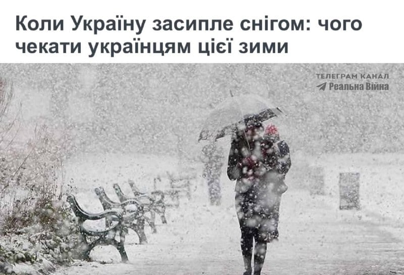
Meteorologists forecast when the first snow of this winter will appear in Ukraine
According to experts, a stable snow cover in Ukraine's flat areas is most likely to form in the second half of December and in January.
According to experts, a stable snow cover in Ukraine's flat areas is most likely to form in the second half of December and in January.

Julien Carmona told AFP about the details of the successful hack, which led to funds being withdrawn via forged IBANs and cryptocurrency platforms.
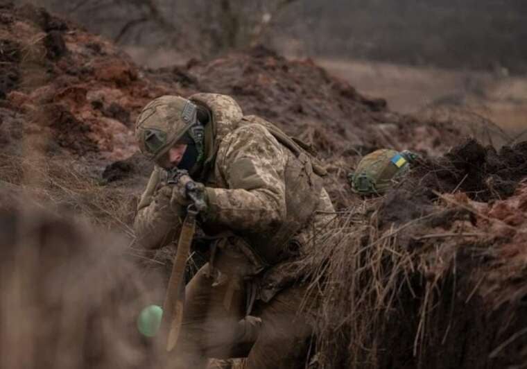
On the Kupiansk and Velyka Burluka axes, the enemy avoided direct assaults, attempting to penetrate with personnel. In South Slobozhanshchyna, Ukrainian defenders repelled offensive attempts.

Ukrainian forces struck petrochemical and oil refining facilities in Nizhnekamsk, as well as an aviation industry plant in Trubchevsk.
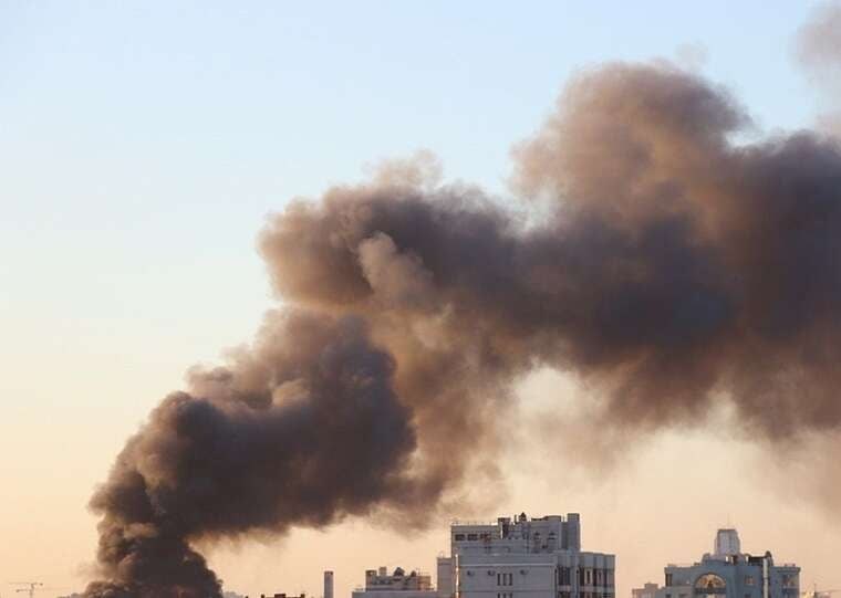
A 39-year-old resident was injured in the enemy strike on the city, while power was cut off in some areas of Zaporizhzhia Oblast.
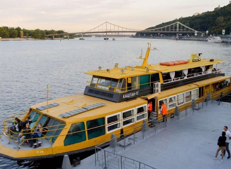
The capital is discussing the creation of regular passenger transport between the banks of the Dnipro. According to a People's Deputy, a trip from Slavytych to Postovaya Square could cost 60–80 hryvnias.

A member of the Armed Forces of Ukraine's Military Law Enforcement Service and three-time world kickboxing champion was killed on 12 November while carrying out military duties in Kramatorsk.

Police in the Polish capital are investigating an incident in which unknown individuals urinated on a Ukrainian couple for speaking their native language.
The meteorological situation in Ukraine during the 2026–2027 winter will be shaped by the prevailing westerly transport of air masses. This means that warm and moist air from the Atlantic will actively flow into the country. As a result of this distribution of atmospheric processes, precipitation levels may exceed the climatic norm in certain regions, although their phase will depend on current temperature readings.
Vira Balabukh, Head of the Department of Applied Meteorology and Climatology at the Ukrainian Hydrometeorological Institute, explained that the arrival of Atlantic air masses will lead to predominantly wet weather during the winter. In January and February, precipitation levels in some parts of the country may be higher than the long-term average, but they will not necessarily fall as snow.
«За такого розвитку атмосферних процесів у січні та лютому в окремих регіонах кількість опадів може перевищувати норму. При цьому опади не обов’язково випадатимуть у вигляді снігу: їх фаза залежатиме від температурних умов», — зазначила фахівчиня. (Under such a development of atmospheric processes, precipitation levels may exceed the norm in certain regions in January and February. At the same time, precipitation will not necessarily fall as snow: its phase will depend on temperature conditions), the expert noted.
Similar trends are confirmed by data from European climate services. According to the Copernicus update of 10 November, the temperature background across a significant part of Europe is likely to be higher than long-term averages during the winter. At the same time, increased precipitation is forecast in many regions. Calculations from the European ECMWF model also demonstrate a similar picture. For Ukraine, this may mean a combination of frequent rain, wet snow and periodic snowfall. Due to above-normal temperatures, some precipitation will not remain on the ground, and snow will melt quickly.
Meanwhile, seasonal models do not rule out periods of cooling. If these coincide with snowy precipitation, snow will be able to accumulate and remain on the ground for longer. However, the first snowfalls do not yet signify the start of a full-blown snowy winter. For a stable cover to form, sub-zero temperatures must persist for a sufficient duration, and the snow must not melt after each warming spell.
Preliminary estimates suggest that the most promising period for the formation of a stable snow cover in Ukraine's flat terrain may be the second half of December and January.
Vazira Fayzulyevna Martazinova, Professor and Chief Researcher at the Ukrainian Hydrometeorological Institute, previously shared her own winter forecast. According to her calculations, December will generally be warmer than normal, and the cooling in the second half of the month will be short-lived.
«Можливі мокрий сніг і дощ, але стійкого снігового покриву я не очікую. Наприкінці грудня сніг, імовірно, з'явиться, але його буде небагато», — розповідала метеорологиня. (Wet snow and rain are possible, but I do not expect a stable snow cover. Snow will likely appear at the end of December, but there will not be much of it), the meteorologist said.
According to her, nighttime temperatures may occasionally drop to -5 to -7 degrees. However, due to temperature fluctuations, the snow may melt quickly or remain only as a thin layer. January, according to Vazira Martazinova's forecast, will be changeable. On certain days, daytime temperatures may rise to approximately +5 degrees, although short-term cooling spells with negative readings are also possible.
The meteorologist does not expect an abnormally cold winter. Frost with nighttime temperatures below -10 degrees is possible, but, in her assessment, it will be short-lived. Her calculations also did not indicate heavy snowfall, although the formation of drifts is possible before cooling spells.
Thus, preliminary forecasts point to a relatively warm winter with periodic precipitation and cooling spells. The first snow may appear as early as December, but the chances of forming a stable snow cover will be higher in the second half of the month and in January.
Comments
No comments yet. Be the first!